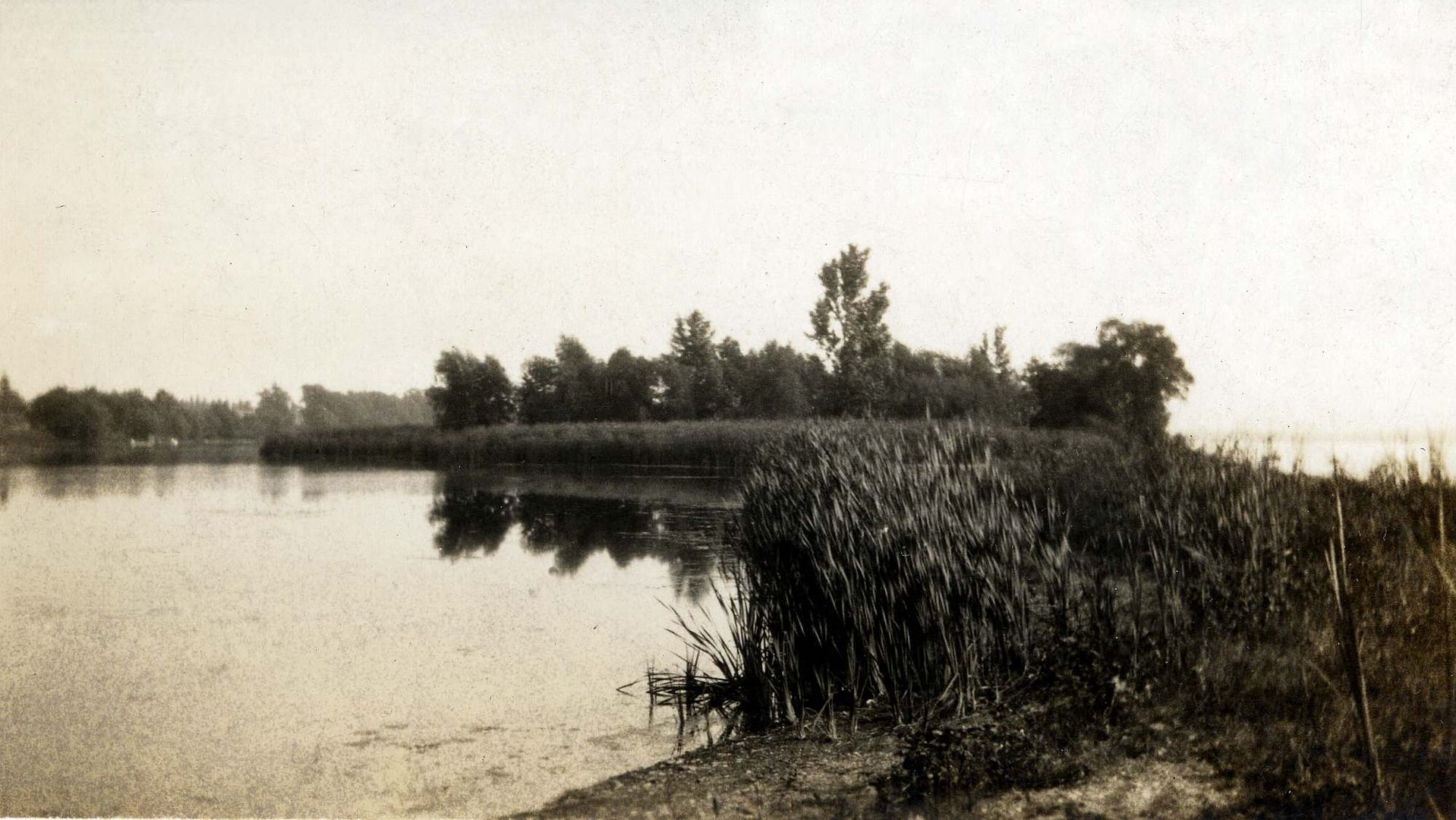
Inlet at the Beach-mystery photo

scotto

Administrator
Staff member
Feb 15, 2004
6,985
218
63
The Beach Strip
#21
OK I got "a" picture from the skyway off google. Not exactly same angle but you can see it. Remember you are seeing two views about 150 years different timeframe.

On the mystery pic the escarpment doesn't go all the way across. It flattens out.
But I don't see any hills or land of any kind in the background, there is, what looks like the escarpment in the distance, not endless lake.
 

Drogo

Moderator
Feb 8, 2005
402
2
18
#22
If you take the mystery picture and copy it to your photo program when you really enlarge it you will see the escarpment on the left side that ends in the trees before the outlet.

I just took the old survey for the outlet and went down there. It's off on angle but it really falls between the two path signs that gives you the option to walk the dirt road or go down to the sidewalk. You can see the terrain. You can also see the area that doesn't have really old old trees. The really old ones are on either side. It took lots of pictures and 3 little short videos.
 

scotto

Administrator
Staff member
Feb 15, 2004
6,985
218
63
The Beach Strip
#23
If you take the mystery picture and copy it to your photo program when you really enlarge it you will see the escarpment on the left side that ends in the trees before the outlet.

I just took the old survey for the outlet and went down there. It's off on angle but it really falls between the two path signs that gives you the option to walk the dirt road or go down to the sidewalk. You can see the terrain. You can also see the area that doesn't have really old old trees. The really old ones are on either side. It took lots of pictures and 3 little short videos.
The only way to end the mystery is to look at the today pics and compare.
 

Drogo

Moderator
Feb 8, 2005
402
2
18
#24
I'm going to put my wander through the old outlet pictures on my website. I will post a url when it's ready. Unfortunately the picture don't give you the same texture the land itself had. It doesn't look near as modelled on the pictures as in person.

Here is a google picture I grabbed. You can see a definite area that the ground isn't the same as either side of it. We know that the outlet wasn't straight but arched towards Spencer Smith. I put the straight line in about where it is shown on the blueprint. The circled area is what I walked. It is up and down and we know that the canal altered with shifting sand and water levels. Just a current look at the property.
 

scotto

Administrator
Staff member
Feb 15, 2004
6,985
218
63
The Beach Strip
#25
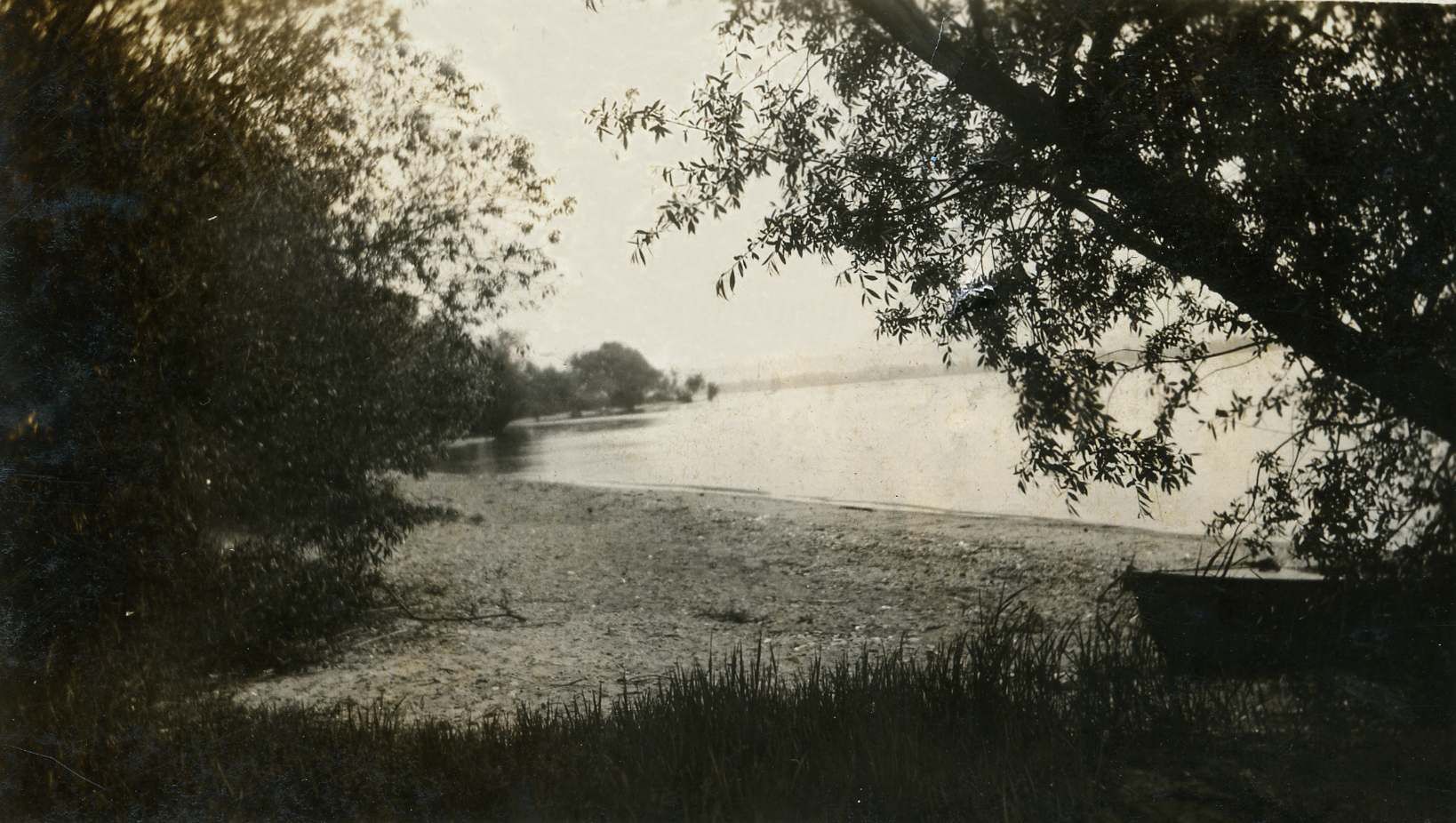
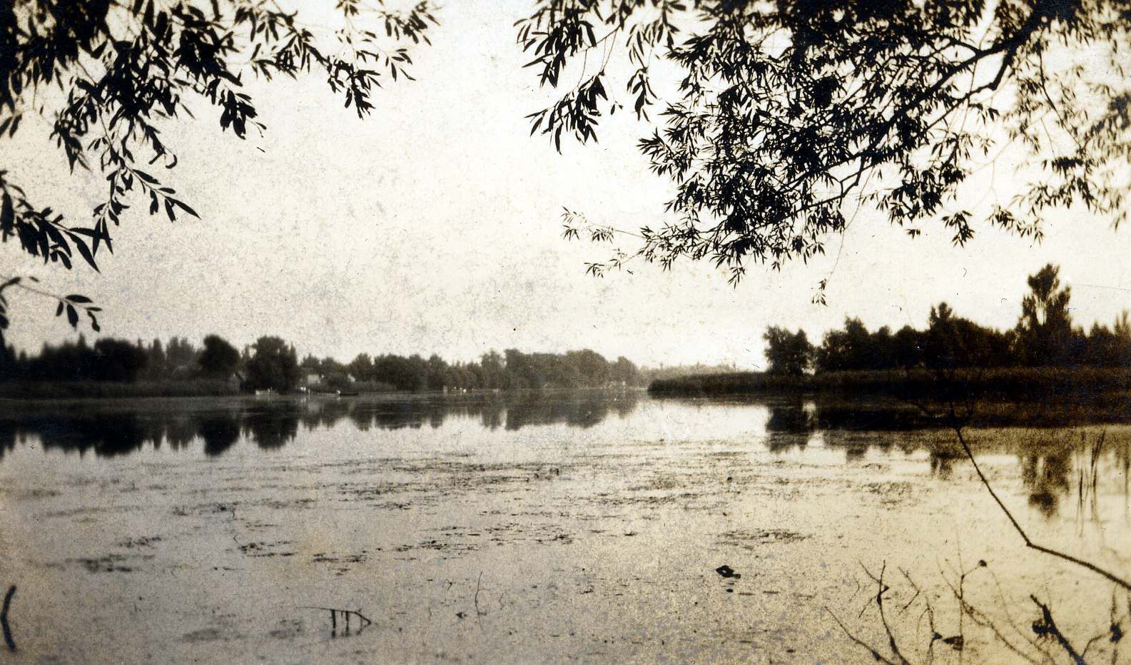
I was looking through my picture files in an effort to fill in some of the missing ones and I came across the "Inlet" photo.
That picture was donated by a family who lived at the south end of the Beach, so the shot must of been taken in the area around Crook's Island.
These were also with that photo.


Drogo

Moderator
Feb 8, 2005
402
2
18
#26
Great pictures. I still don't see it being the same one as I put up. For one thing the trees on the one I sent aren't anywhere as thick as the ones in the middle picture. I think the 1st one you put on is Cook's Island that you are looking at. The second one I'm not sure of the angle you point of view is. Third one appears to be looking south on the bayshore down along the inlet.
 

scotto

Administrator
Staff member
Feb 15, 2004
6,985
218
63
The Beach Strip
#27
Great pictures. I still don't see it being the same one as I put up. For one thing the trees on the one I sent aren't anywhere as thick as the ones in the middle picture. I think the 1st one you put on is Cook's Island that you are looking at. The second one I'm not sure of the angle you point of view is. Third one appears to be looking south on the bayshore down along the inlet.
They were in the same folder, I thought the original picture was from your sources but for a change it was mine. The first one is in really rough shape and the others are a bit better, most likely why I only used the best one.
Yes it is difficult to tell if there are matching features, the last one had "bayshore" written on it and the other looks like it could of been taken at north end of "inlet" as they called it at times.
Again, the only way to prove anything is to match the hills (escarpment) in the background.
Ten years ago, I could of just asked the person who took it.
More looking and checking.
 

Drogo

Moderator
Feb 8, 2005
402
2
18
#28
When Graham Pilling gave me that photo he said "here is the picture you are looking for" and he knew I was researching the old outlet. With the trees that are in the pictures you put up you couldn't see the escarpment. Looking from the bay at the south inlet the escarpment would be coming in from the right if you could see it at all. The picture I put up has escarpment showing for a short distance on the left. Like catching Rattlesnake Point.
 

scotto

Administrator
Staff member
Feb 15, 2004
6,985
218
63
The Beach Strip
#29
When Graham Pilling gave me that photo he said "here is the picture you are looking for" and he knew I was researching the old outlet. With the trees that are in the pictures you put up you couldn't see the escarpment. Looking from the bay at the south inlet the escarpment would be coming in from the right if you could see it at all. The picture I put up has escarpment showing for a short distance on the left. Like catching Rattlesnake Point.
So the "Inlet" picture was from Graham and not the Ronald's family?
 

Drogo

Moderator
Feb 8, 2005
402
2
18
#30
Yes I got an email from Graham with that picture attached to it. I'm not sure but the word Inlet written on it looks like Graham's writing. I called him and told him thanks. I sent in the picture to this site. Then I looked at the picture again and sent it to Ray and asked "is this what I think it is"? He looked and agreed it is the old outlet. Inlet/outlet just depends on whether you see it as a way in or a way out. I don't think my picture and the three you put up are of the same place.
 

Drogo

Moderator
Feb 8, 2005
402
2
18
#31
I love the three you put however. As I said Corey's property was at the start where the pennisula starts to go away from the main beach. Also the picture of the inlet at station 9 also shows the trees as being very dense on the inlet.
 

scotto

Administrator
Staff member
Feb 15, 2004
6,985
218
63
The Beach Strip
#32
I love the three you put however. As I said Corey's property was at the start where the peninsula starts to go away from the main beach. Also the picture of the inlet at station 9 also shows the trees as being very dense on the inlet.
Too bad it isn't still there, but now we have the Skyway and Eastport Dr.

Just looking back through my files (which isn't easy), I have that inlet picture as a large scan (file 116) from 2005.
 
Last edited:

Drogo

Moderator
Feb 8, 2005
402
2
18
#33
Yeah it was unique. But what industry or government cares about unique? Just waste land to fill in. I must get the pictures up from my walk around what appears to be the outlet. It's still there. When you walk the area it's so different from the beach bank either side of it. You can walk in there and know you are standing on the old riverbed. Unfortunately the picture loose that 3D effect you get live. Where the various heights of land hit you in the face live the pictures just don't show it so well. If you want to meet down there one day I'm game.
 
Dec 1, 2004
153
1
18
86
Longueuil, Quebec
#35
It looks to me that the first two pictures are of the same scene from a slightly different angle. Compare the tree lines on the far shore and on the "island". The scene is a familiar one to me because I remember visiting the island a few times when the water was low and you could walk to it if you had rubber boots on or if there was ice on the bay. Several times we crossed, or tried to cross, when the ice was just forming and we called it 'rubber ice' because it would bend and create waves ahead of your feet. Sometimes the rubber ice
broke and if you weren't wearing boots you went home with wet feet.
 

scotto

Administrator
Staff member
Feb 15, 2004
6,985
218
63
The Beach Strip
#36
It looks to me that the first two pictures are of the same scene from a slightly different angle. Compare the tree lines on the far shore and on the "island". The scene is a familiar one to me because I remember visiting the island a few times when the water was low and you could walk to it if you had rubber boots on or if there was ice on the bay. Several times we crossed, or tried to cross, when the ice was just forming and we called it 'rubber ice' because it would bend and create waves ahead of your feet. Sometimes the rubber ice
broke and if you weren't wearing boots you went home with wet feet.
We have the aerial of the inlet that Fred uses on his cover page for his website, but it is much harder to place an old picture like that when taken from various ground angles.
 
Last edited:
Top Bottom