Graham or Pilling Island

Drogo

Moderator
Feb 8, 2005
402
2
18
#1
When they took down the bay towers in ca 1962 the base of it that is at the very north end, in the corner by Indian Point was either named Graham's or Pilling Island. It was on maps even. I am looking for a map that has it written on it. Any help please.

I gravel "island" is still there but they took the name of the newer maps.
 

scotto

Administrator
Staff member
Feb 15, 2004
6,985
218
63
The Beach Strip
#2
When they took down the bay towers in ca 1962 the base of it that is at the very north end, in the corner by Indian Point was either named Graham's or Pilling Island. It was on maps even. I am looking for a map that has it written on it. Any help please.

I gravel "island" is still there but they took the name of the newer maps.
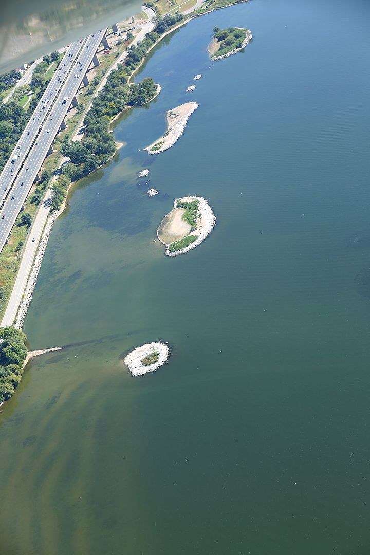
The Port removed the most northerly island a couple years ago, but they called it Farr Island.
 

Drogo

Moderator
Feb 8, 2005
402
2
18
#3
I have to look around here because I think it was on an old Rand McNally map. I'm sure the one still there was the Island I'm referring to.

I haven't gotten to knitting maps together yet but they look great.
 

scotto

Administrator
Staff member
Feb 15, 2004
6,985
218
63
The Beach Strip
#4
I have to look around here because I think it was on an old Rand McNally map. I'm sure the one still there was the Island I'm referring to.

I haven't gotten to knitting maps together yet but they look great.
If it is the same island (most northerly), why would it be changed to Farr?

I thought I had changed my camera setting to the highest res. but it stayed in the mid range. That happens when the buttons get switch around.
So the maps aren't as big as I hoped.
 

Drogo

Moderator
Feb 8, 2005
402
2
18
#5
If it is the same island (most northerly), why would it be changed to Farr?

I thought I had changed my camera setting to the highest res. but it stayed in the mid range. That happens when the buttons get switch around.
So the maps aren't as big as I hoped.
Just me and how I explained it. If you look at the bay today it is the most northerly. You said they took the most northerly out but I'm referring to what you see today. I don't know why I do that because I'm one of the worst for talking in two centuries at the same time. LOL
 

scotto

Administrator
Staff member
Feb 15, 2004
6,985
218
63
The Beach Strip
#6
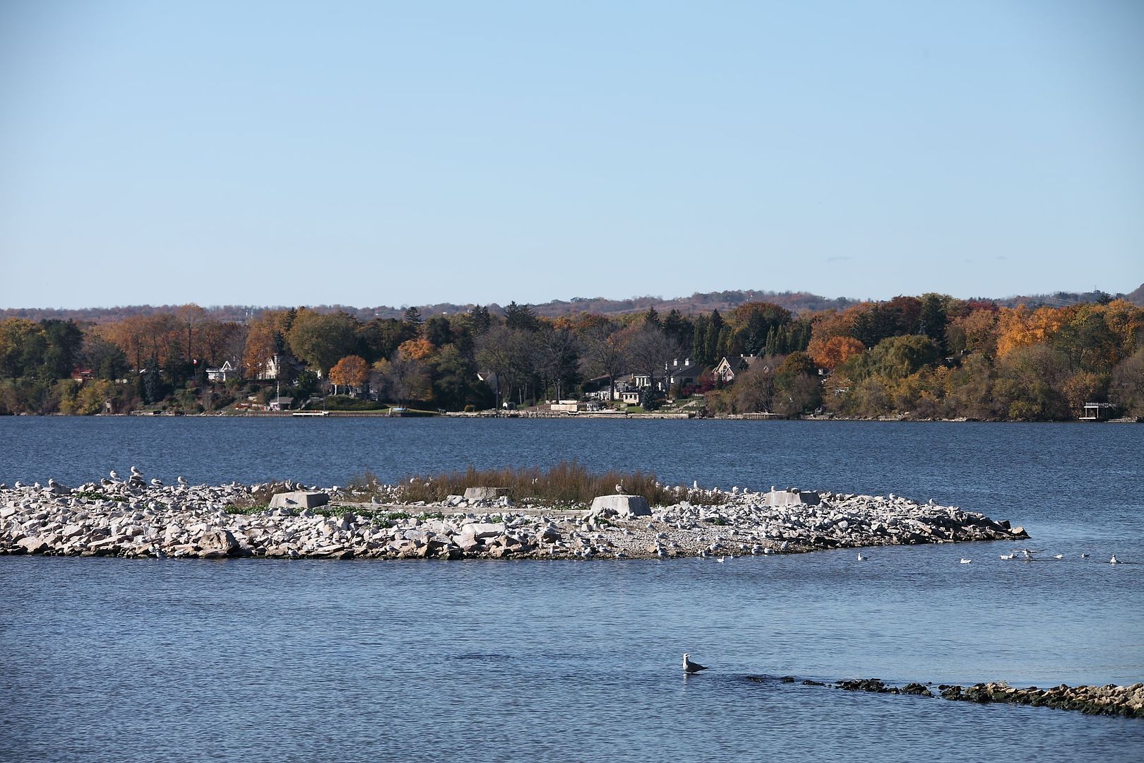
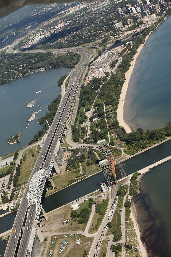
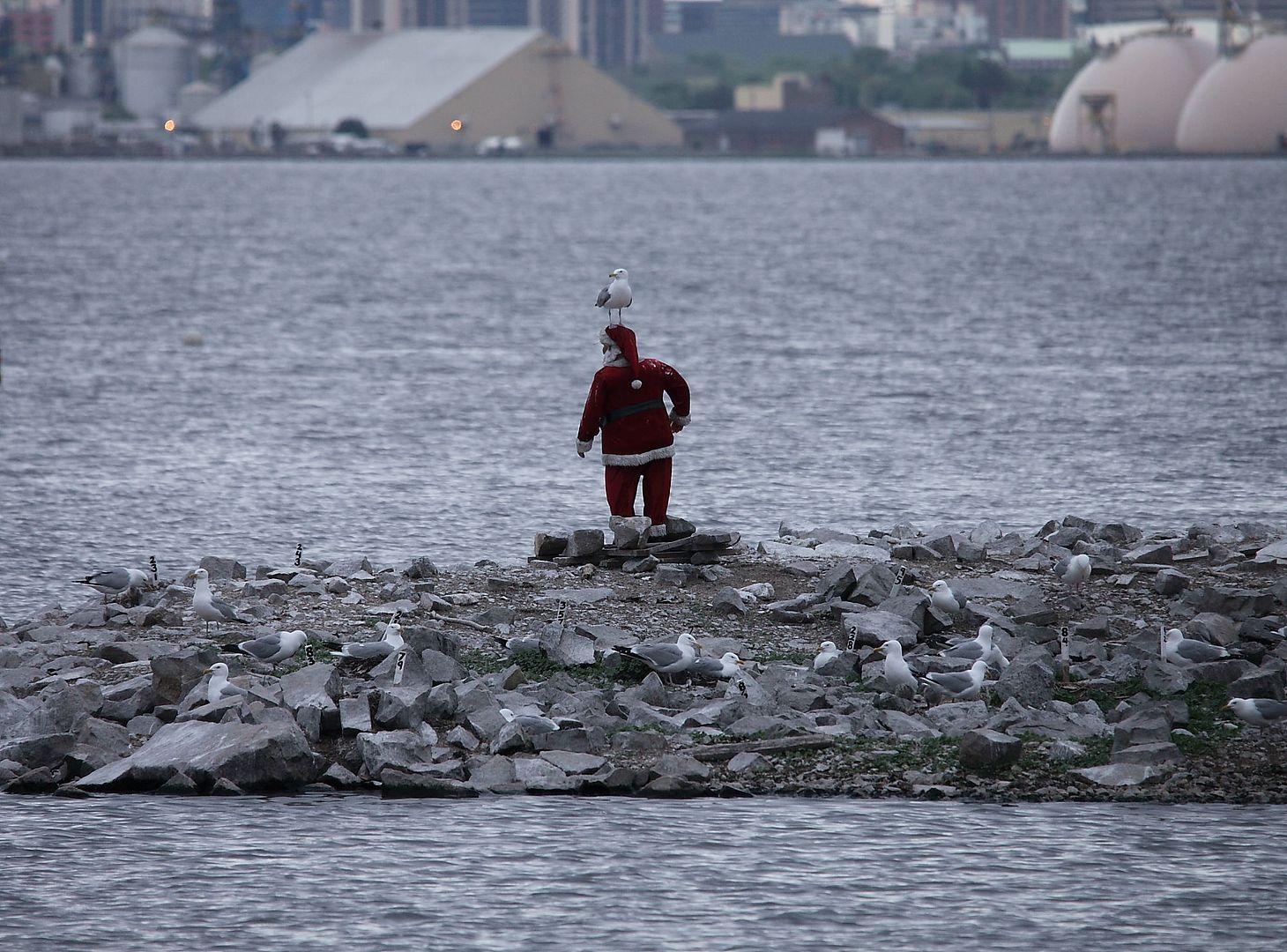
A few pictures of Pilling Island, it is a man made island (bottom in first pic) once used as a base for a hydro tower and Santa stays there for the summer.


A couple from 2013.


scotto

Administrator
Staff member
Feb 15, 2004
6,985
218
63
The Beach Strip
#8
Fantastic but what tells you that island is Pilling Island?
It's Santa's summer island, I was going by your quotes but a look on a map from the Port (which I believe belongs to Google) shows the most northerly island to be Neare Island.

Just to add, the island the Port removed was Farr Island, so far and near? Must of been a Grade 1 contest to name them.
 
Last edited:
Top Bottom